

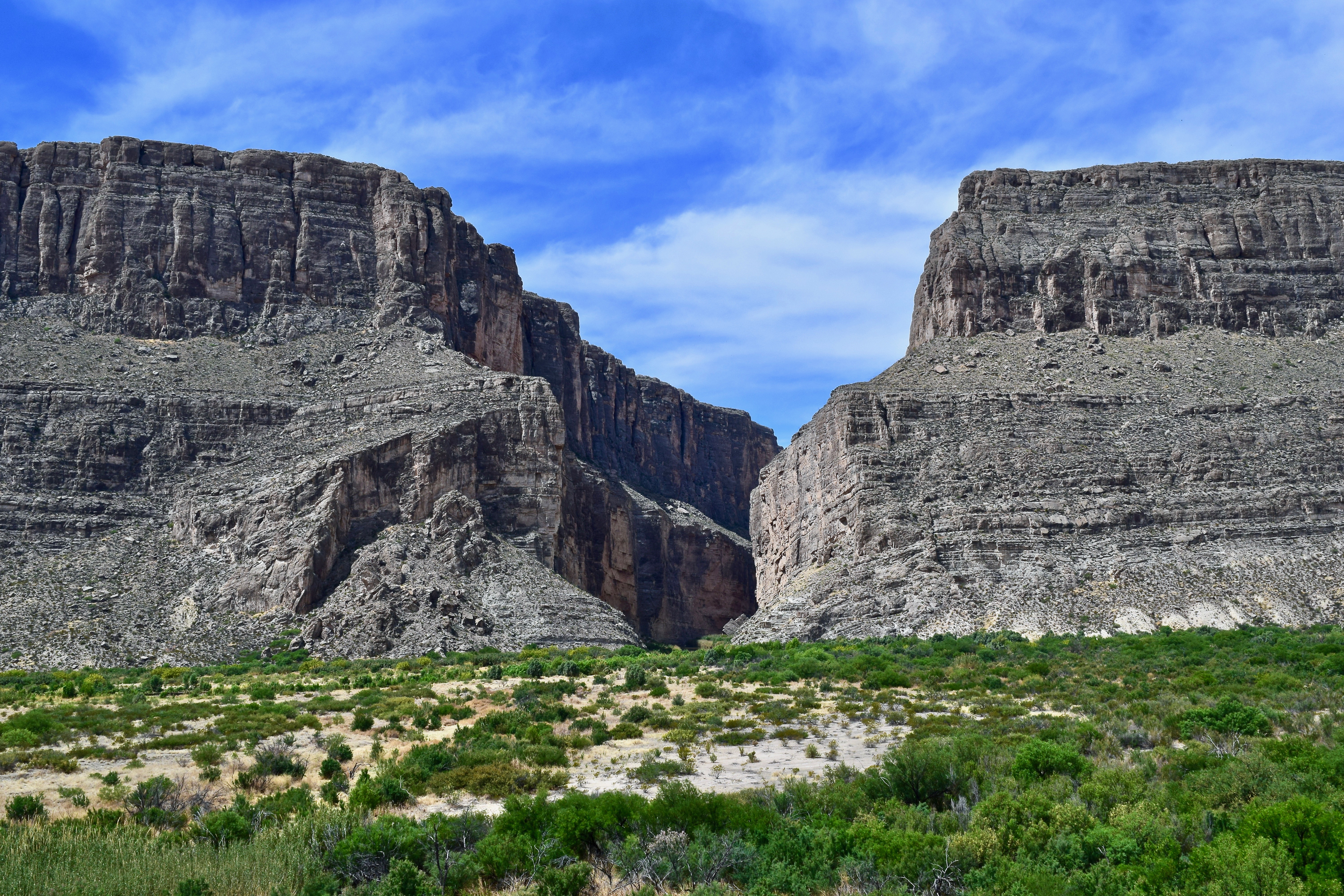
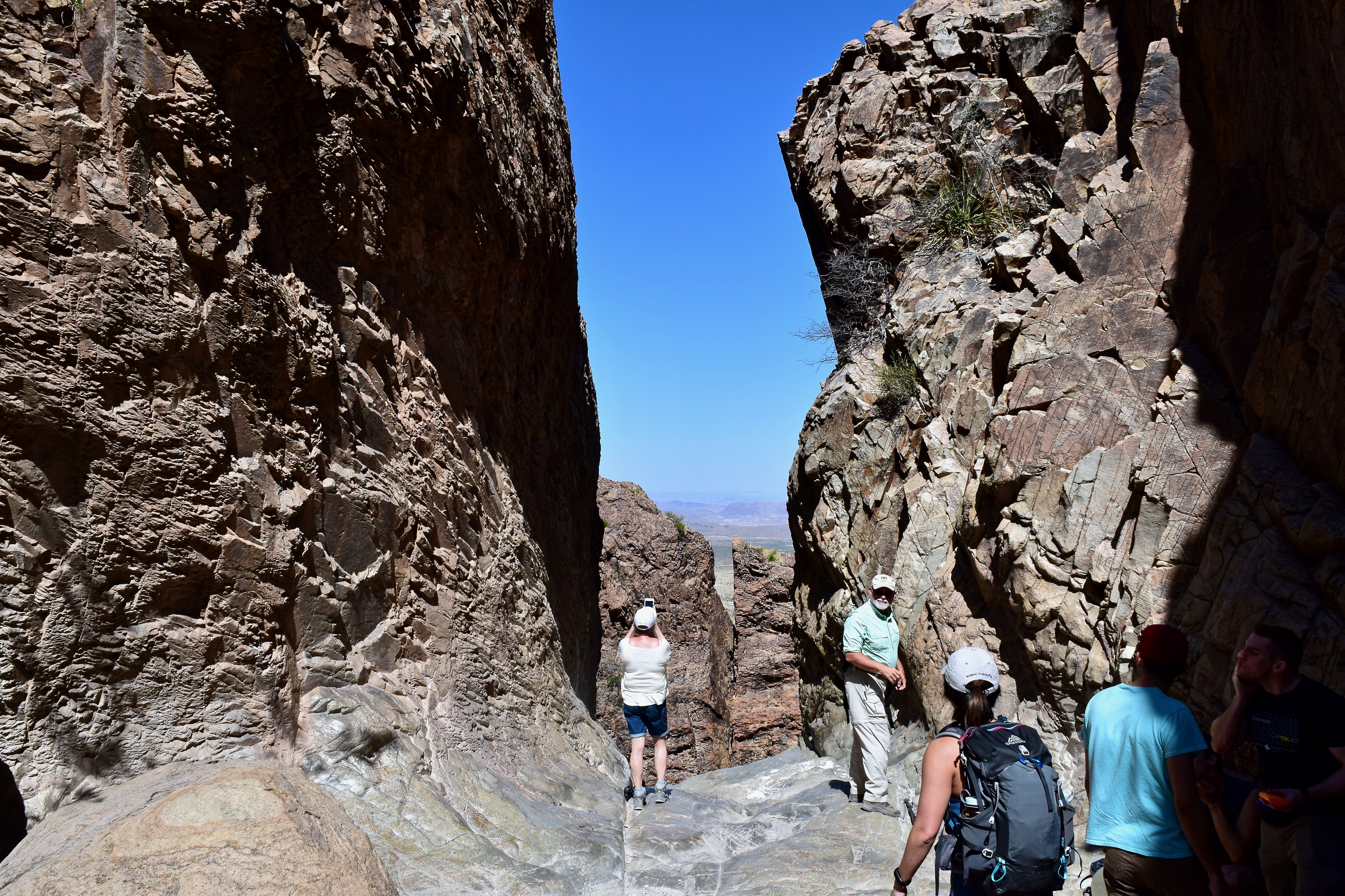
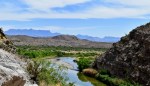
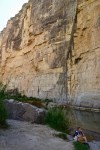
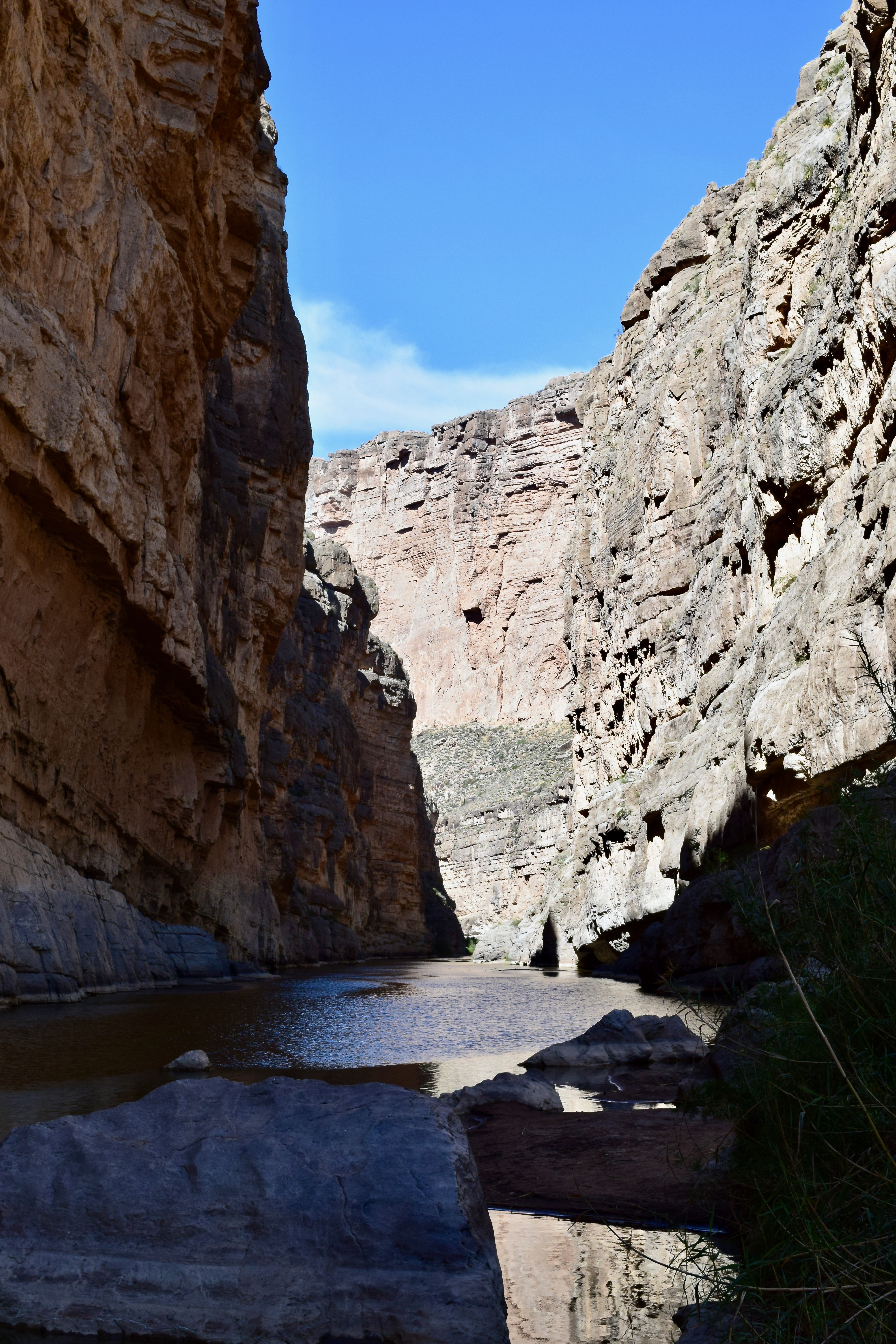
The gap where the Rio Grande exits the Santa Elena Canyon.
I am finally making public some of my photos from our April 2018 Big Bend Trip. Click on the first photo in each group and you can scroll through the photos in the light box. Unfortunately, I did not upload them all at once, so you will have to view them in groups: BOQUILLAS, THE WINDOW TRAIL, SANTA ELANA CANYON, CASA GRANDE.
I hope there is no wall built along the Rio Grande River. That is not a political statement, but an ecological statement. The land is awesome. The ecosystems both magnificent and fragile. The views are breathtaking. I can not imagine a wall on this sacred land. Take a look and enjoy!!
-

- BOQUILLAS: Boquillas Port of Entry is the only official Rio Grande River crossing along the 118 miles of river border in Big Bend National Park.
-

- Going up the Boquillas Canyon Trail with minimal pain two days after the knee injury.
-
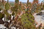
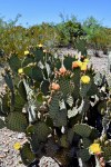
- The Spiny Fruited Prickly Pear cactus along the trail is a reminder to pay attention and stay on the trail.
-
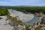
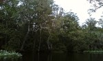
- The Rio Grande winds its way to Boquillas Canyon.
-

- Hickers dwarfed by the massive wall of the Sierra del Carmen on the Texas side of the river.
-
- Boats on the Mexico side of the river. It is reported that at times Mexican musicians use the boats to float up and down the river playing for the hikers. Sometimes they will toss sealed mason jars in the water hoping to retrieve them later filled with money from the hikers.
-
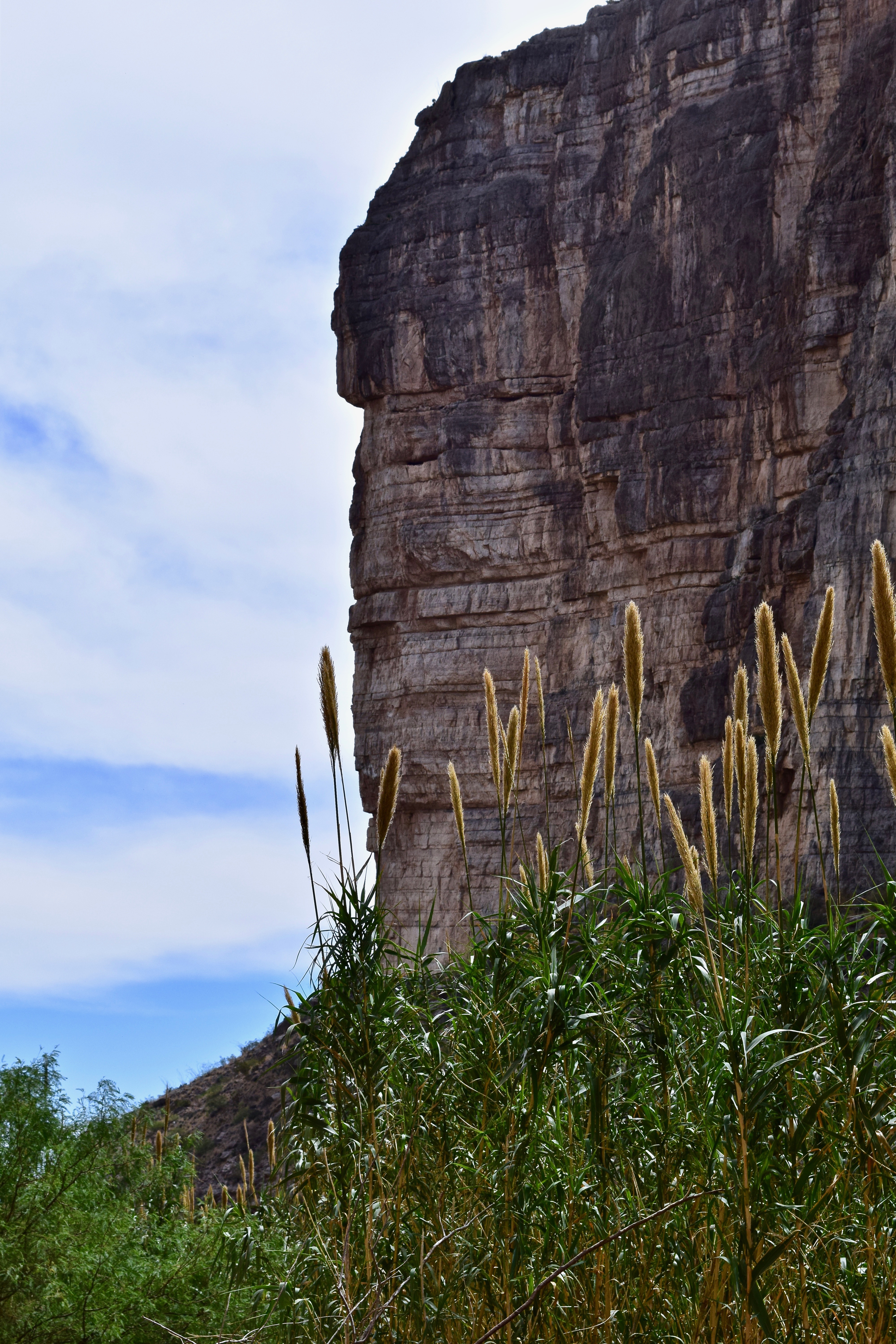
- The limestone and shale canyon wall near the near the entry of Boquillas Canyon–the longest and deepest canyon in Big Bend.
-
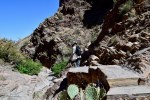
- Hiker heading back up the Boquillas Canyon Trail as others start the descent.
-

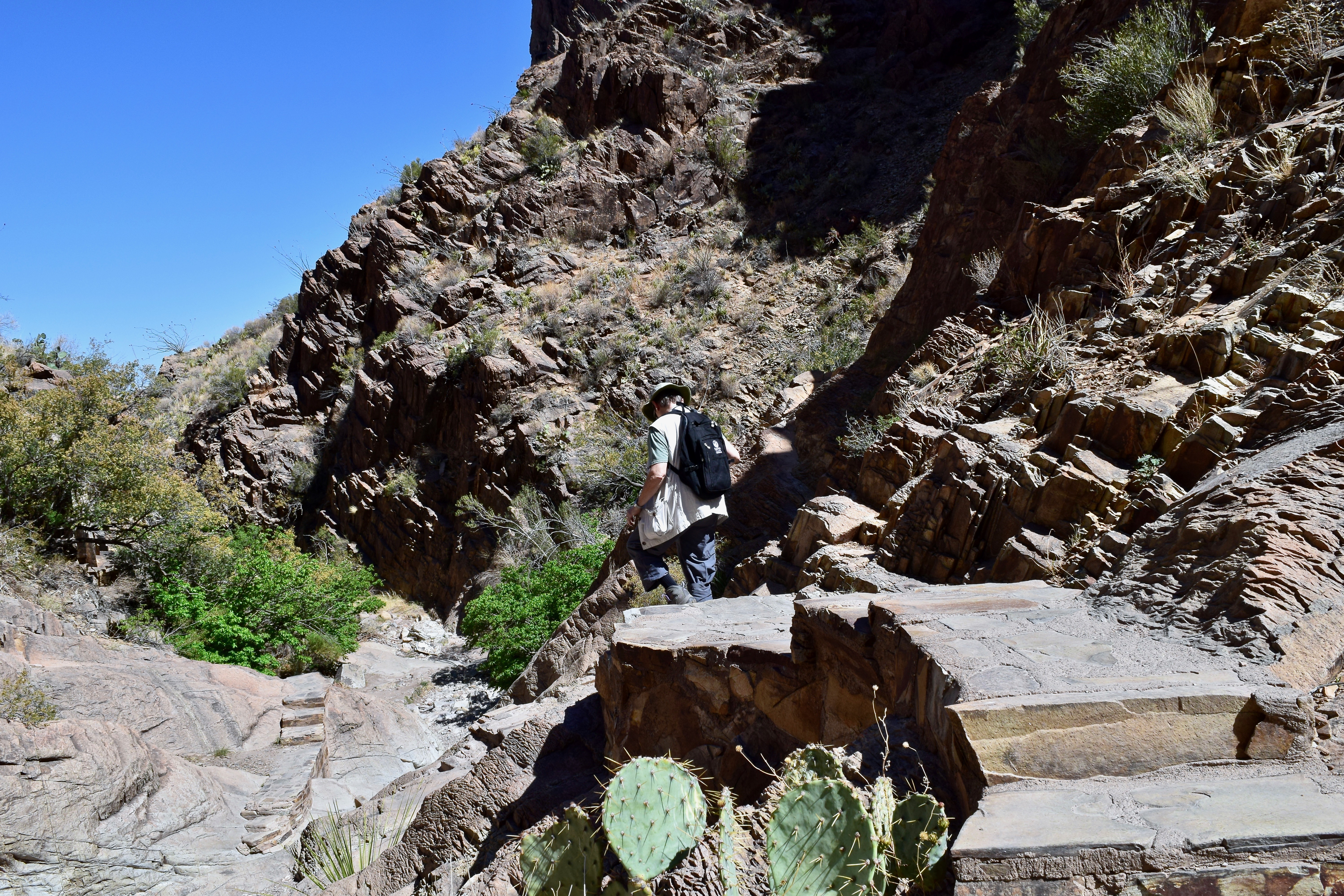
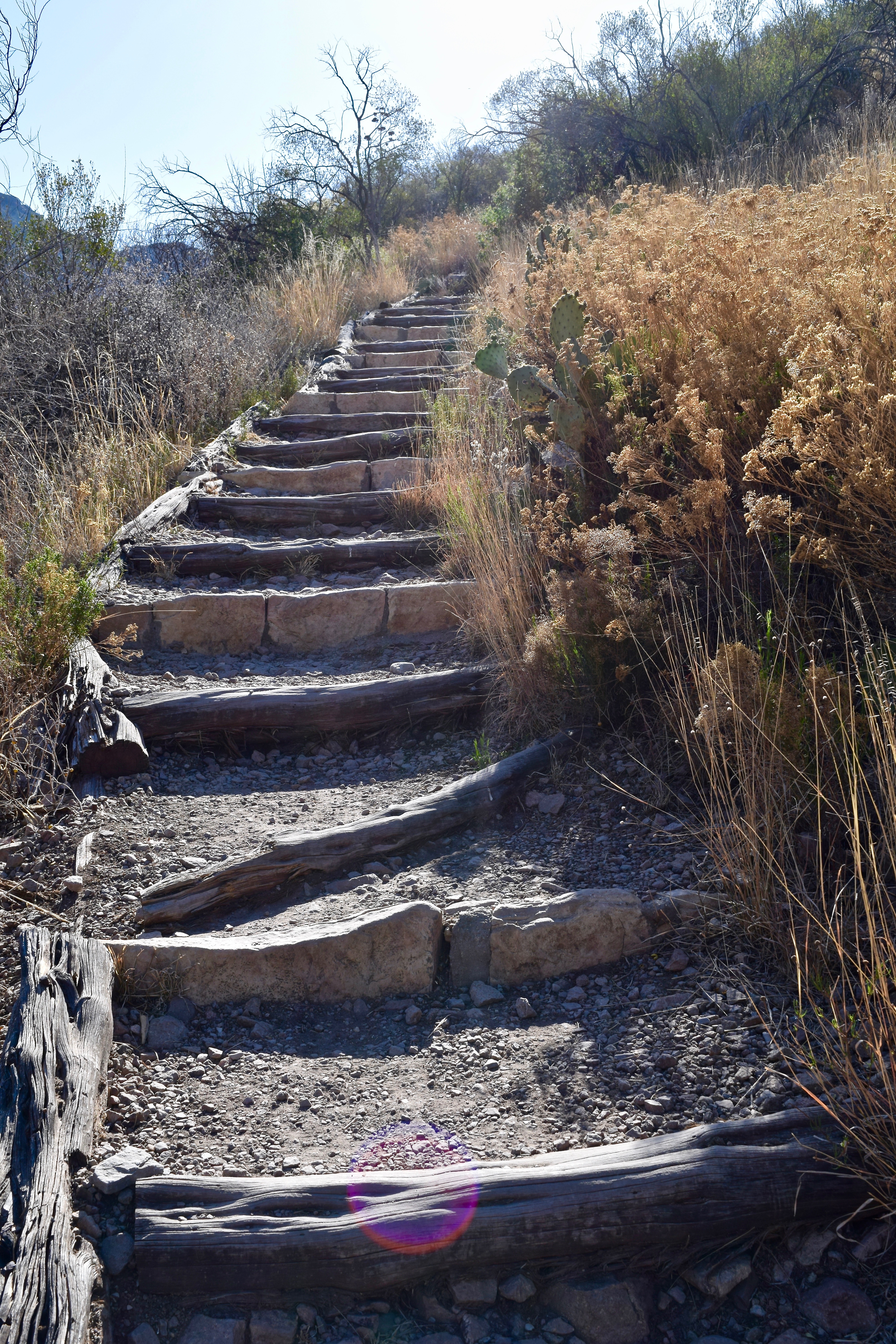
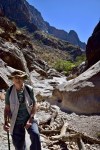
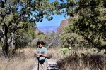
- THE WINDOW TRAIL: The Window Trail just before it descends again and becomes very rocky.
-

- One of many rest stops on the hike out.
-
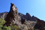
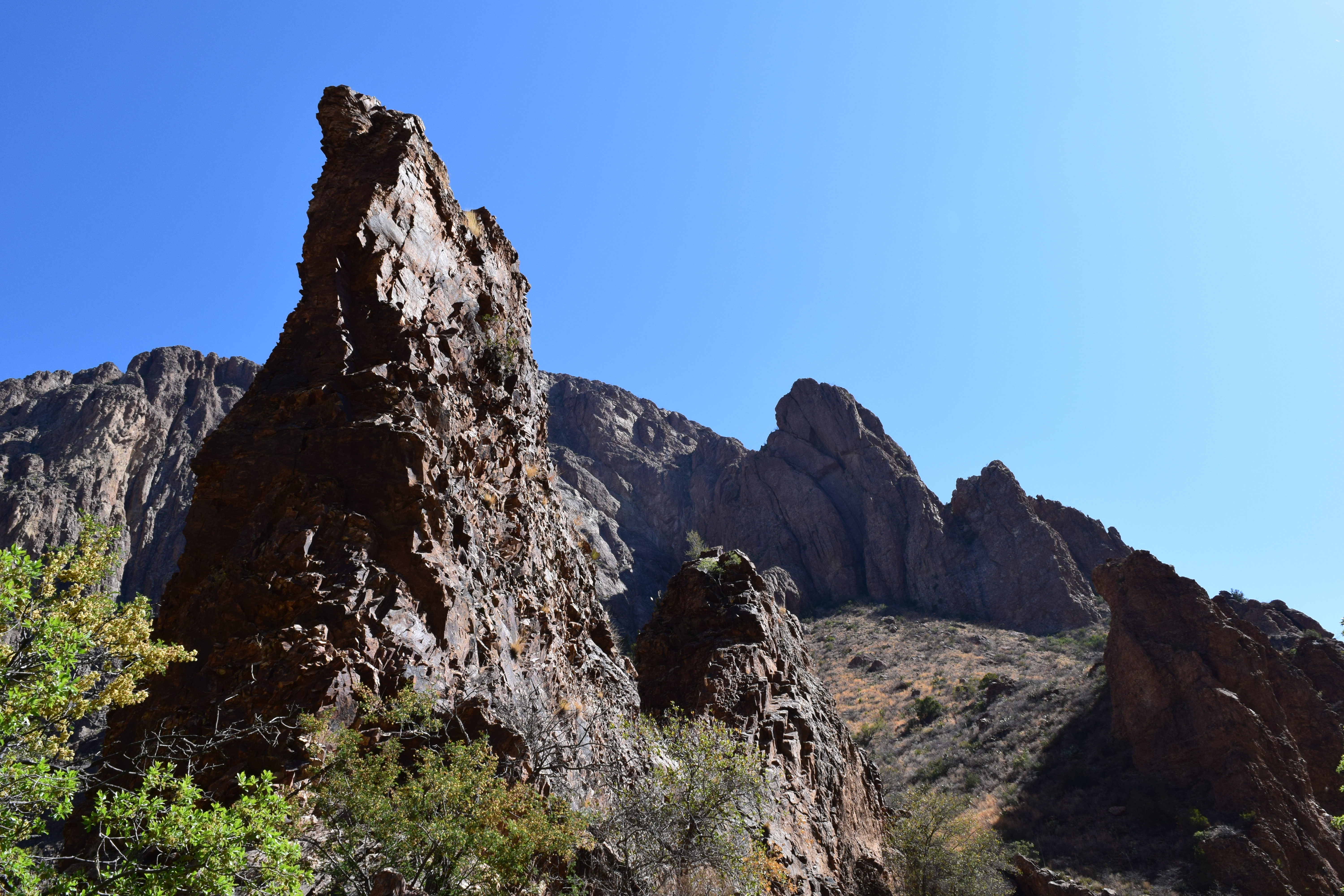
- Rock spires along the trail.
-

- A flatter portion of the trail-the Window is the crevice to the right of the peak in the distant center.
-
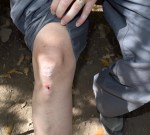
- Dealing with physical limitations.

-
- Limping up and down the steep rock steps.
-
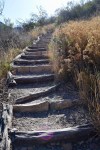
- Just a small portion of the climb on the return hike.
-

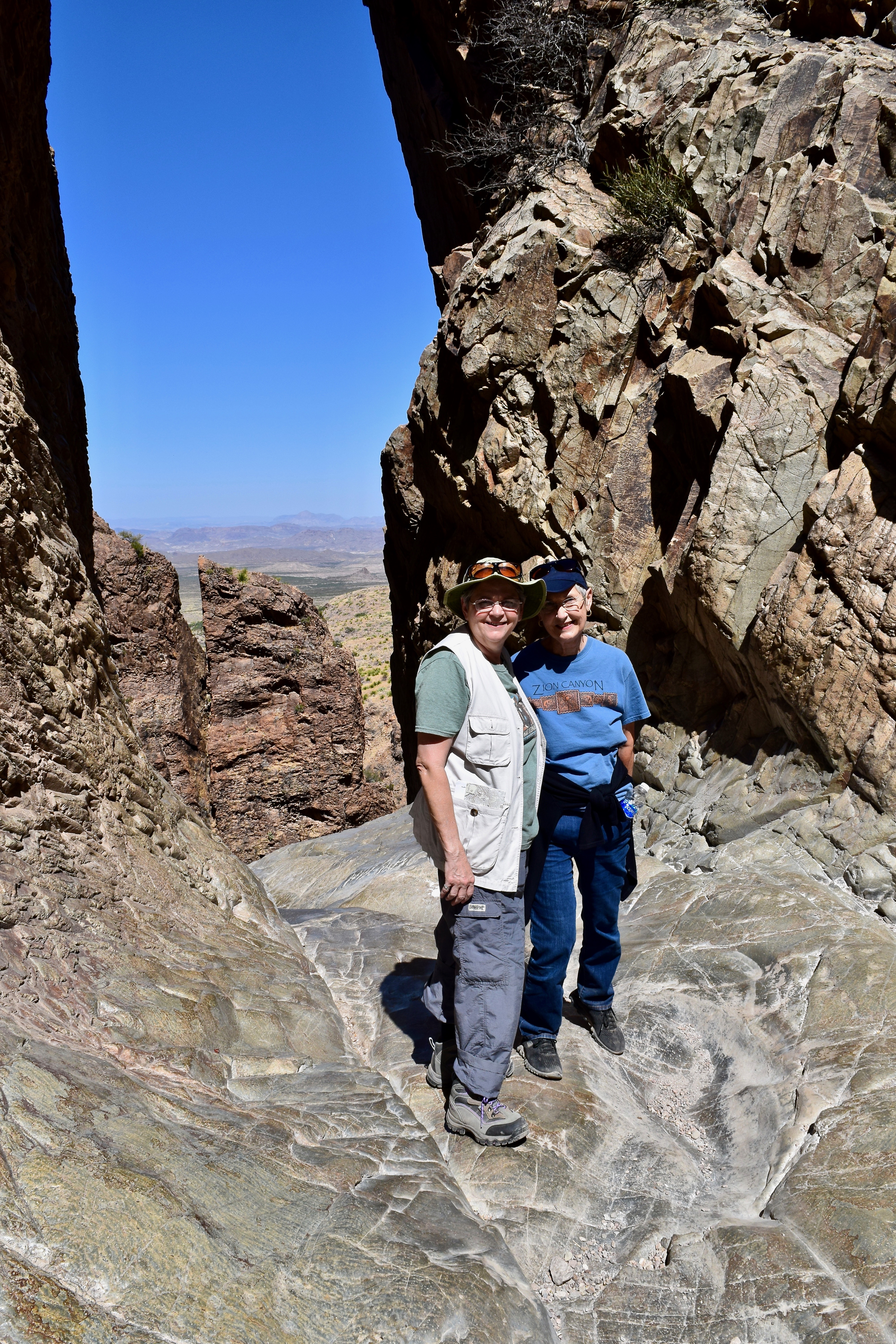
- Hikers enjoying the view and the shade at the Window.
-

- Brenda and Lou Anne with the desert below through the Window.
-
- The lower rocky portion of the Window Trail.
-
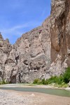
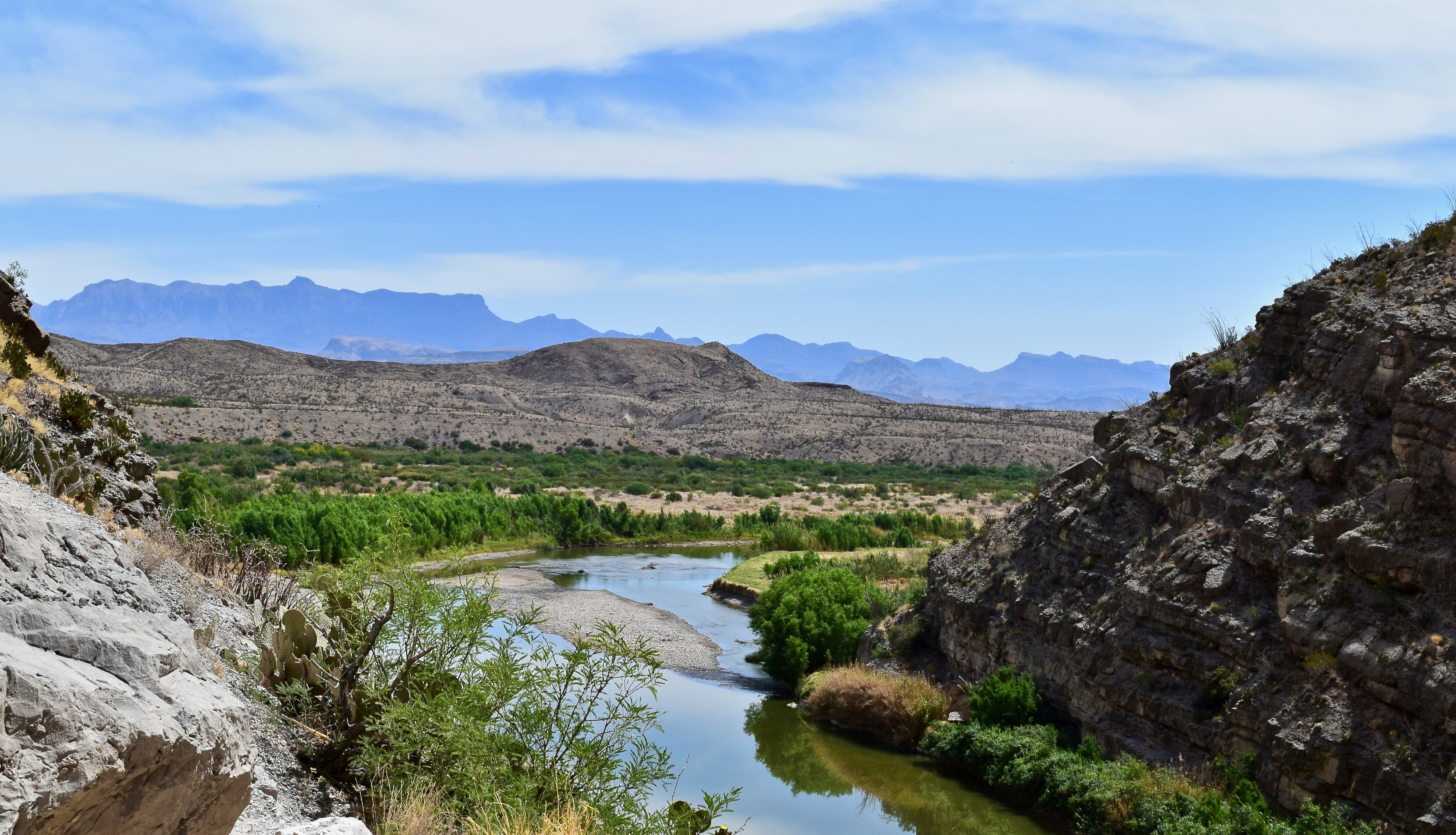
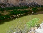
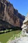
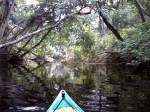
- SANTA ELANA CANYON: The Rio Grande making its abrupt turn into the Santa Elena Canyon.
-

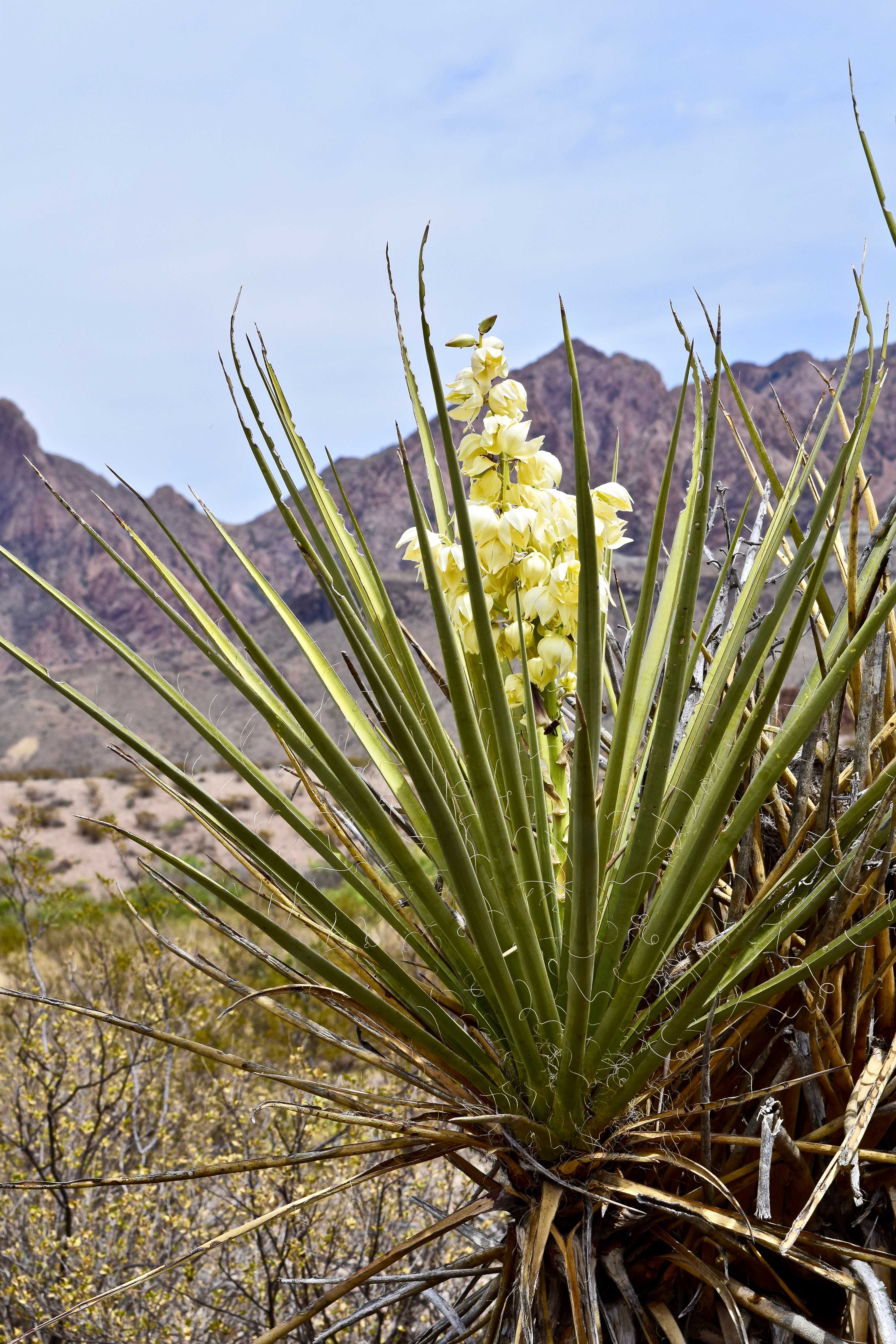
- Torrey Yucca with the Chisos in the background.
-

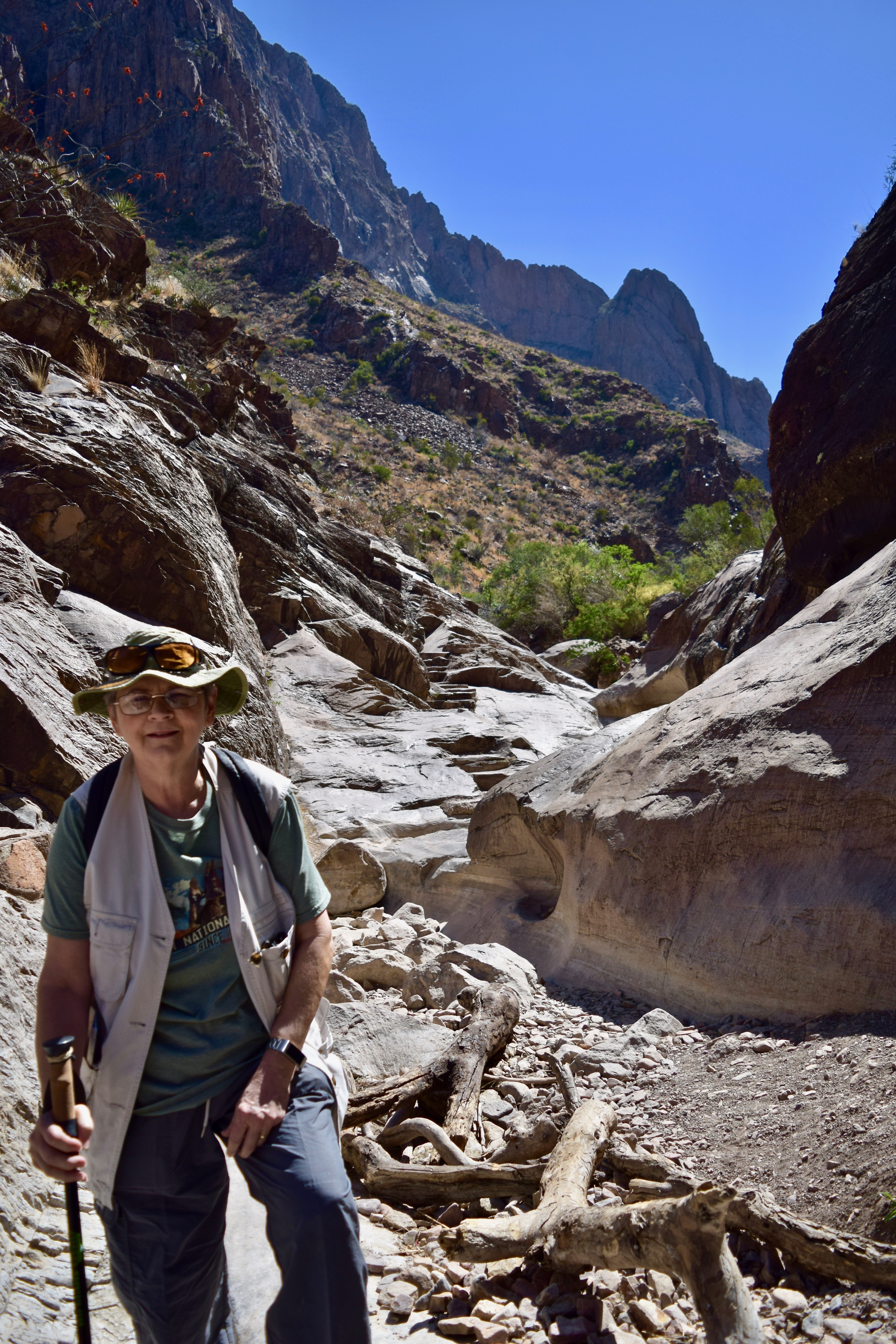
- The lower Santa Elena Canyon Trail plants, mountains, and sky offer an impressive array of colors and textures.
-
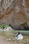
- Solititude at the end of the Santa Elena Canyon Trail.

-
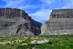
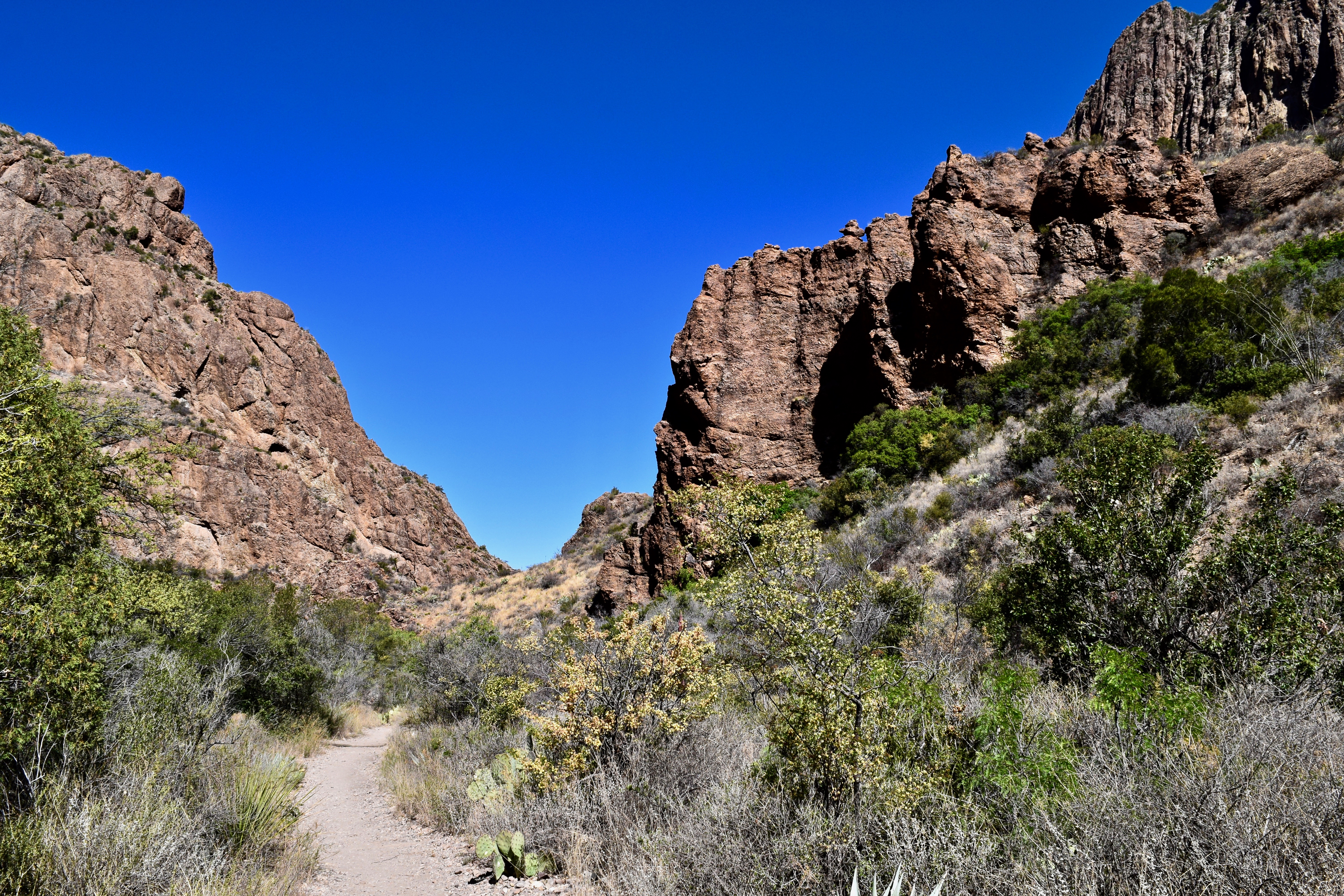
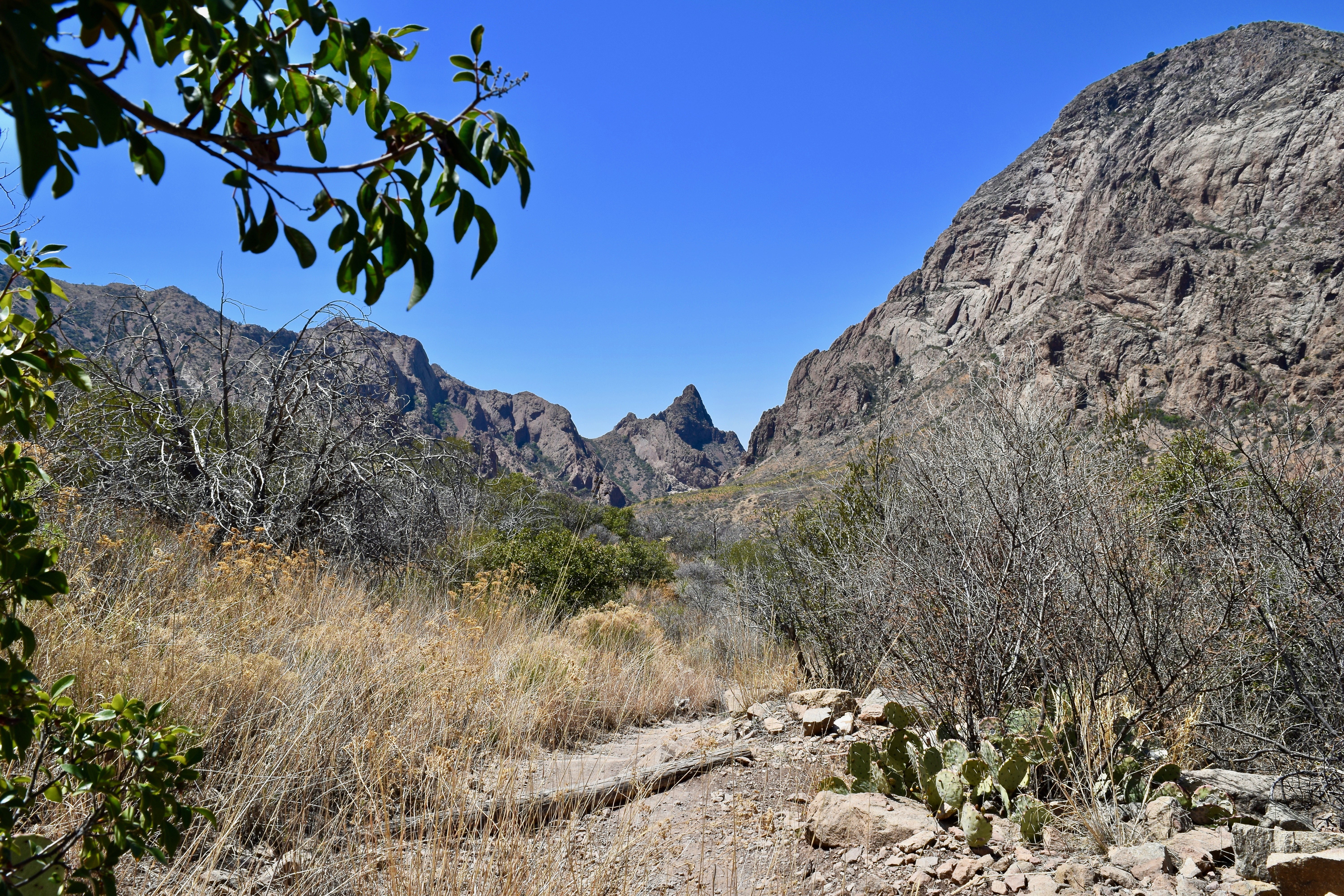
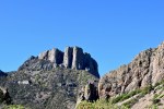
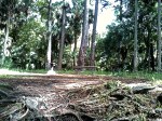
- The gap where the Rio Grande exits the Santa Elena Canyon.
-

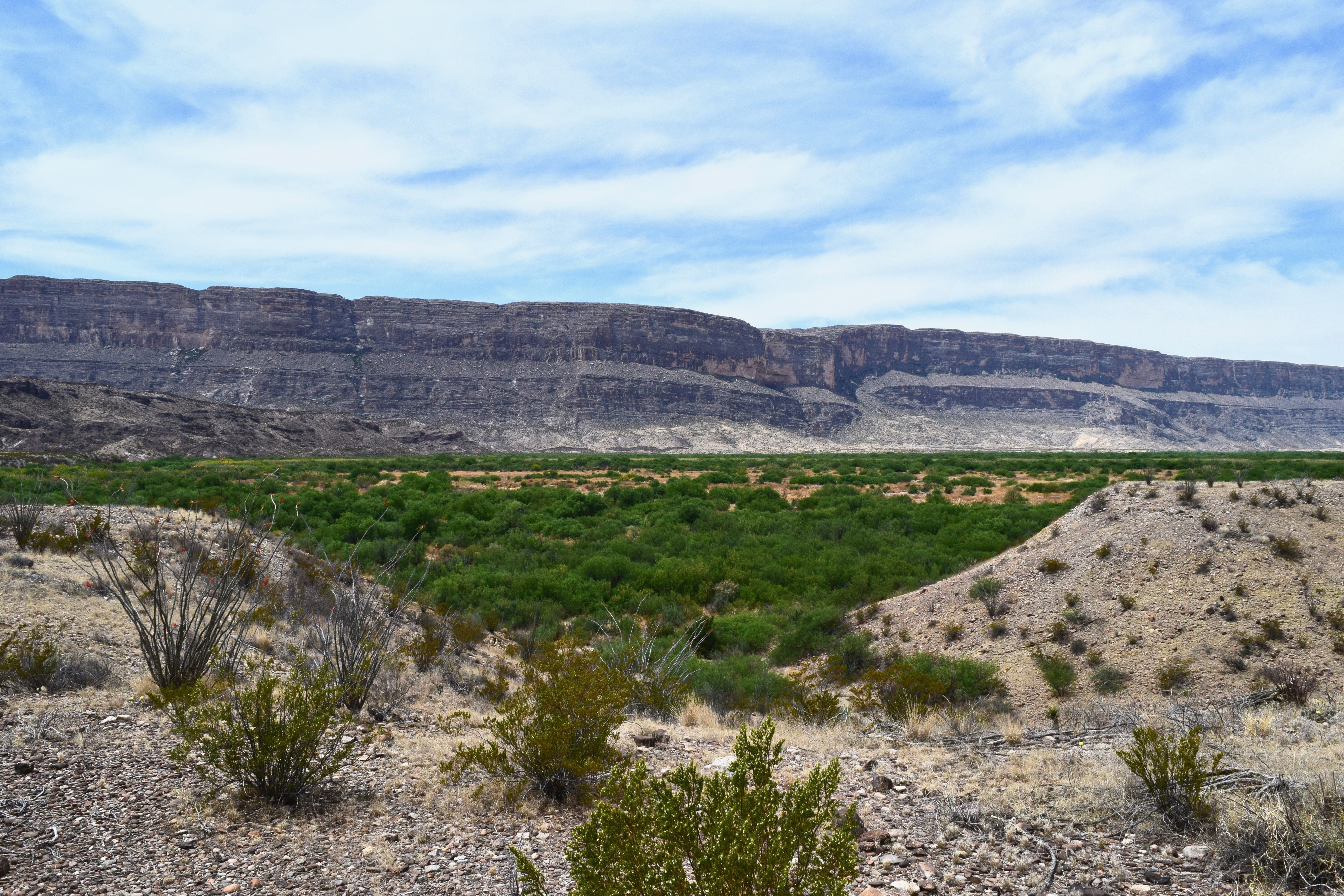
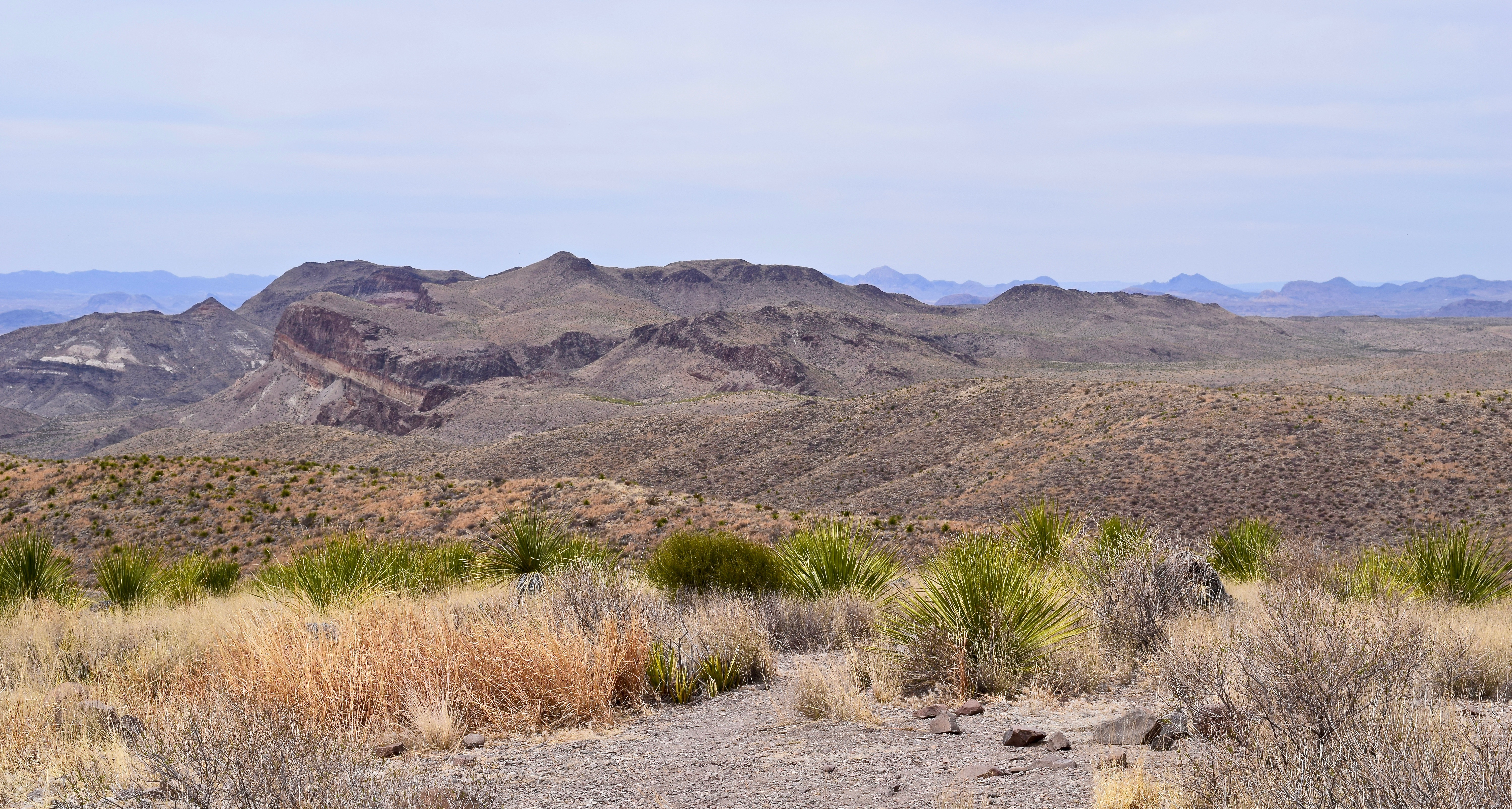
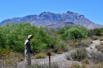
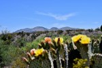
- A view of the diverse ecology found in Big Bend National Park–the desert, fertile river valley, and mountains.
-
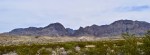
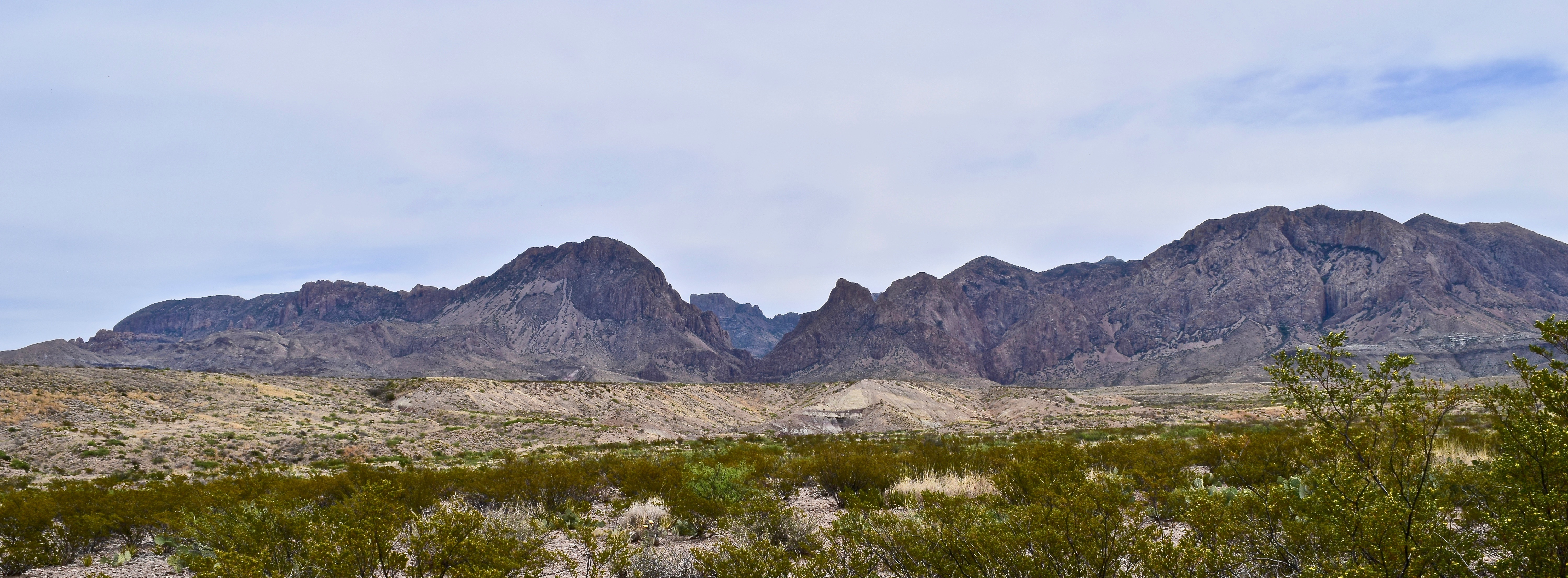
- The Chisos range from Ross Maxwell Scenic Drive.
-
- The Rio Grande from the rocky cliffs of the Texas Mesa del Auguila.
-
- A view of the Mexican Sierra Ponce as the river enters the Santa Elena Canyon.

-

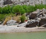
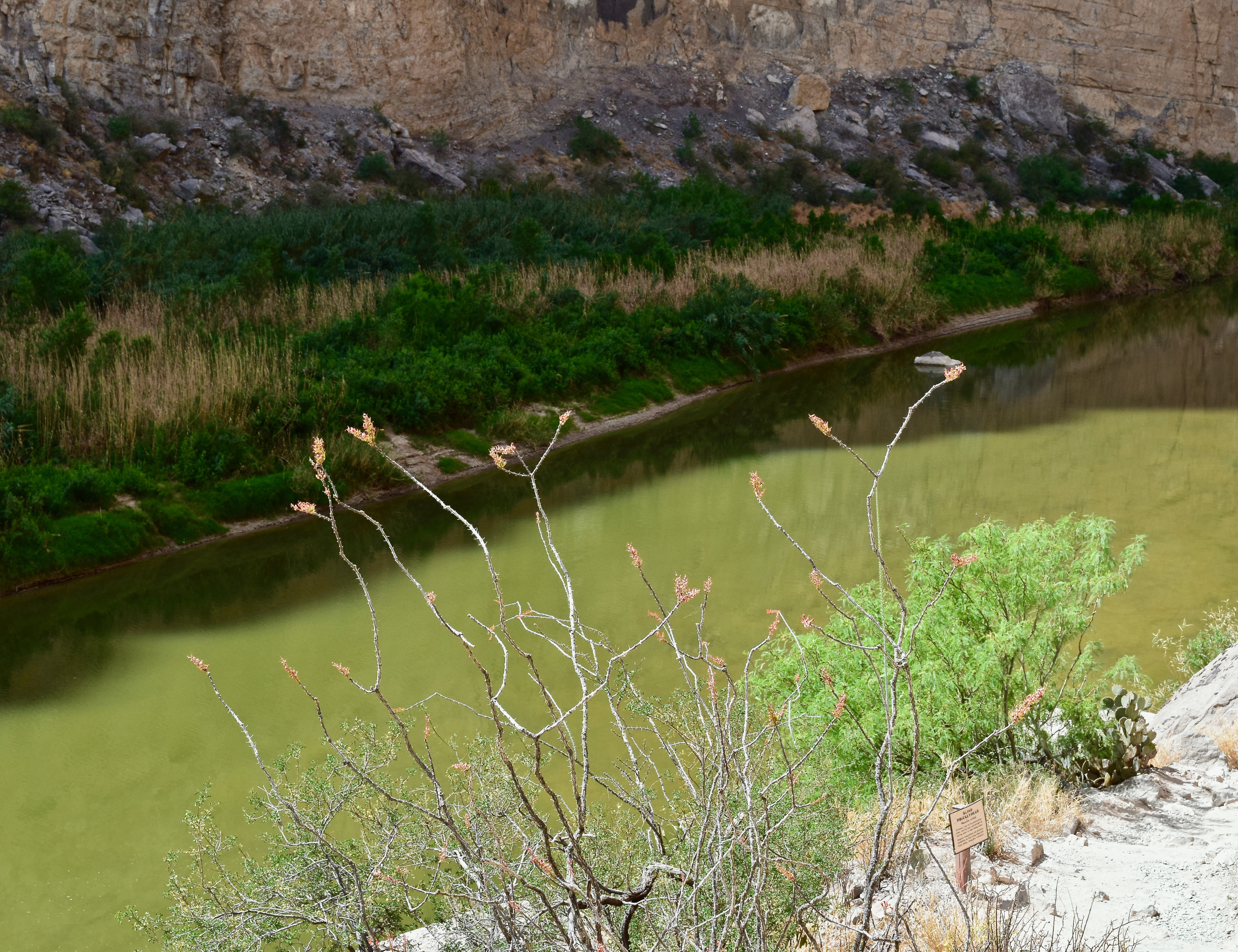
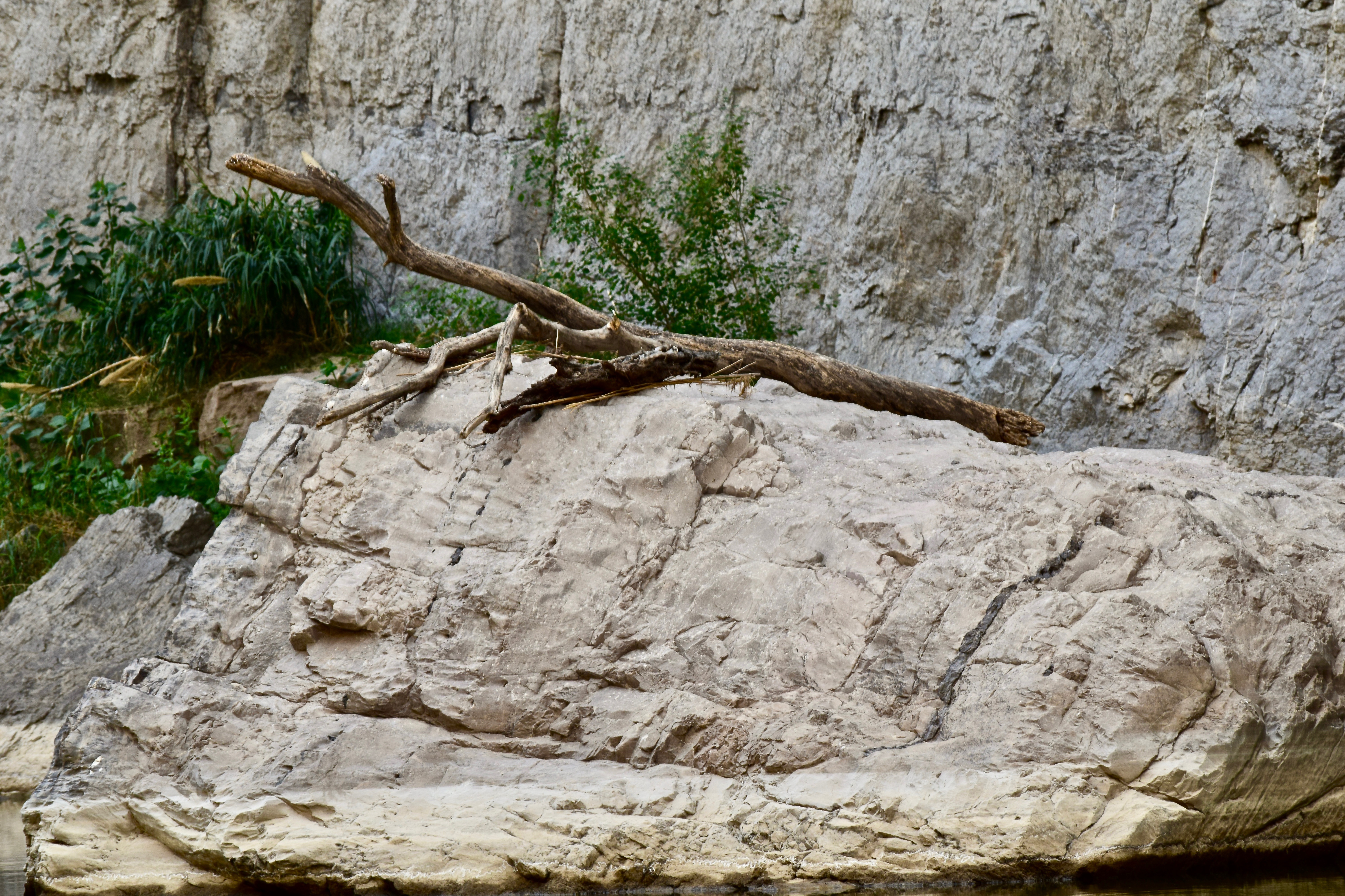
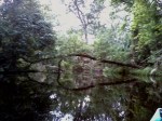
- A stranded log on the banks of the Rio Grande as evidence of periods of higher water.
-

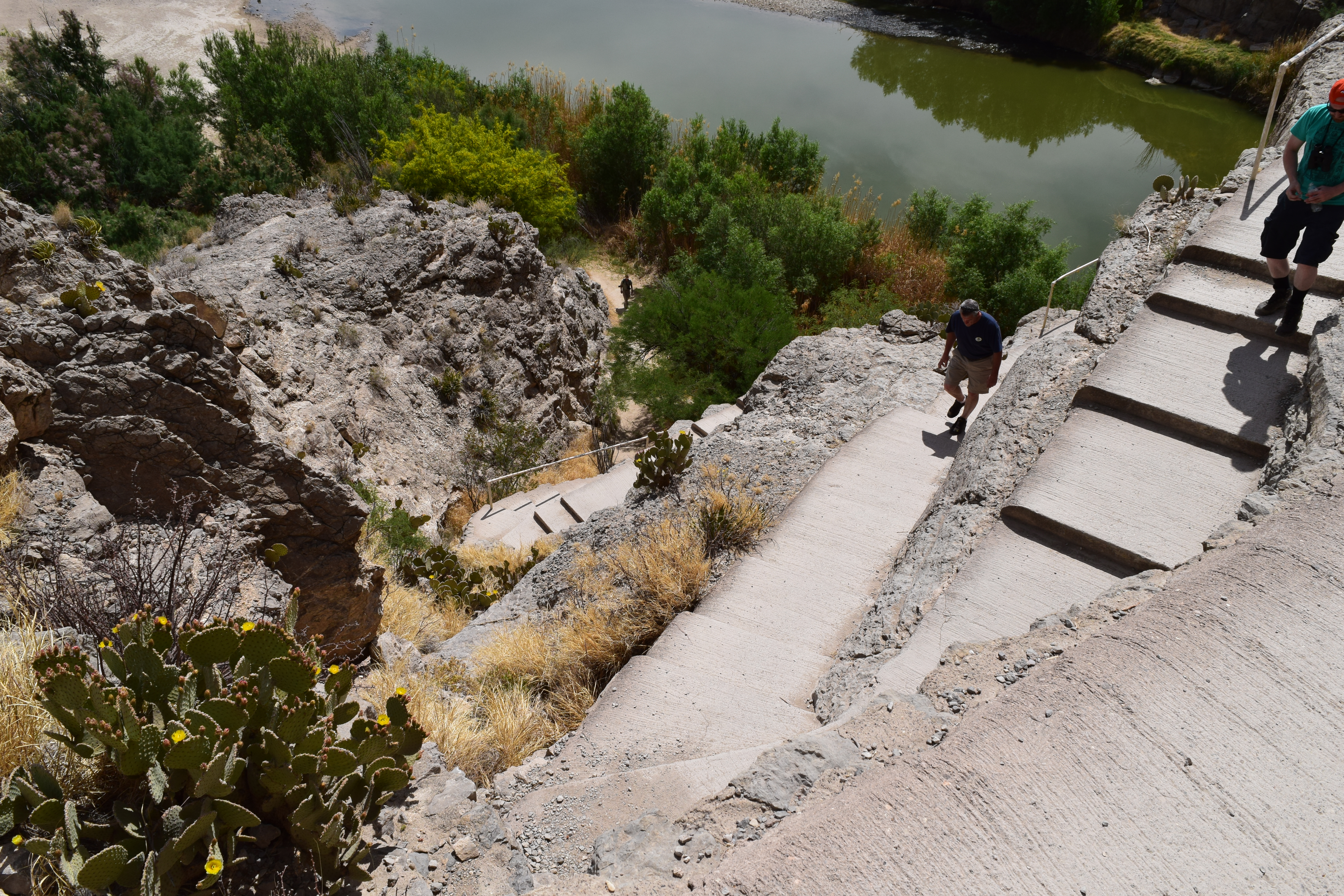
- Hikers entering and exiting the Santa Elena Canyon Trail. Luckily the ascent is at the beginning.
-
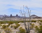
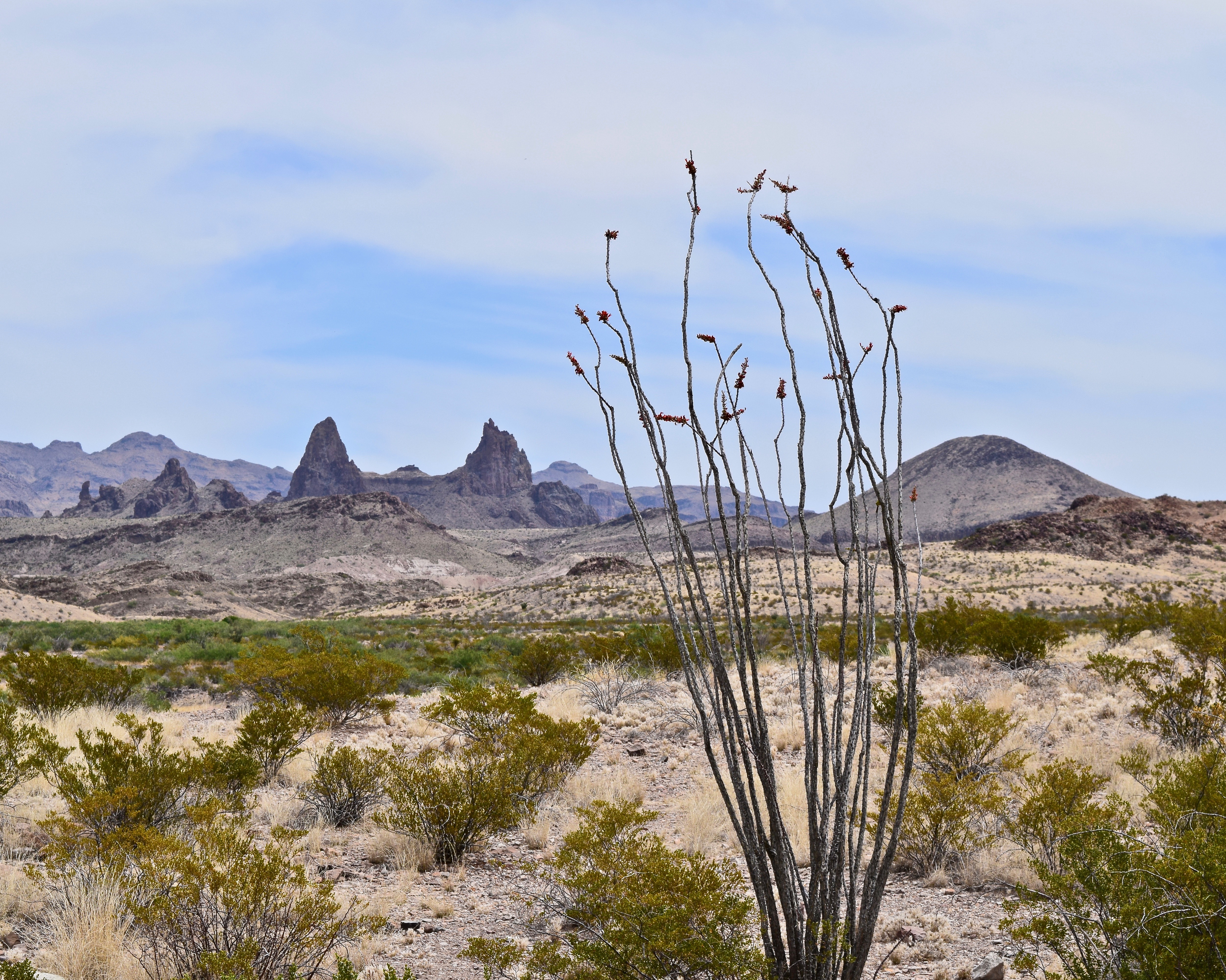
- The Mule Ears formation and the abundant ocotillo plant on the Ross Maxwell Scenic Drive.
-

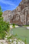
- The Rio Grande beneath the towering vertical walls of the Santa Elena Canyon
-

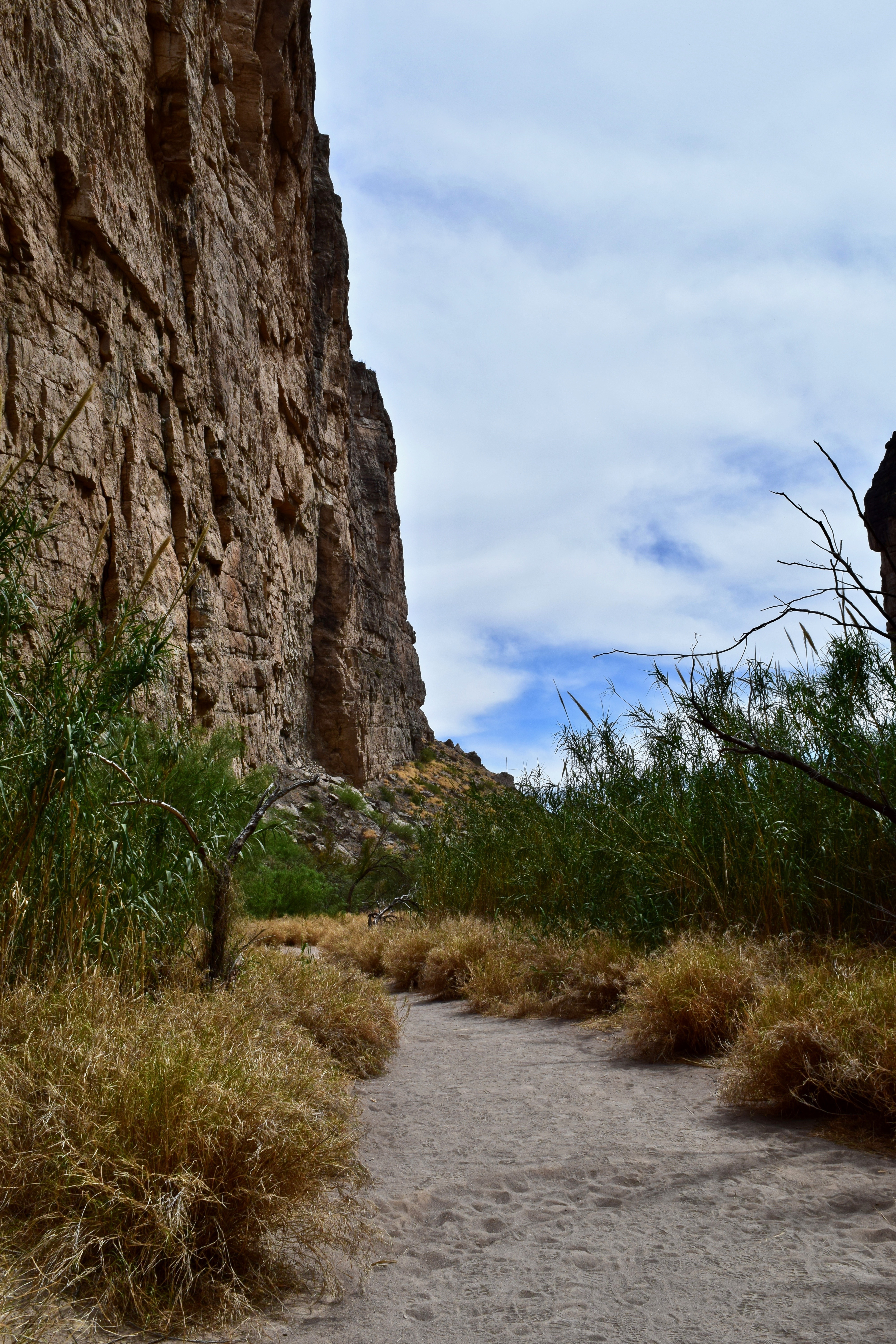
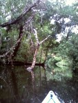
- Hard stalwart canyon walls provide the backdrop for the willowy, flowing reed plants.
-

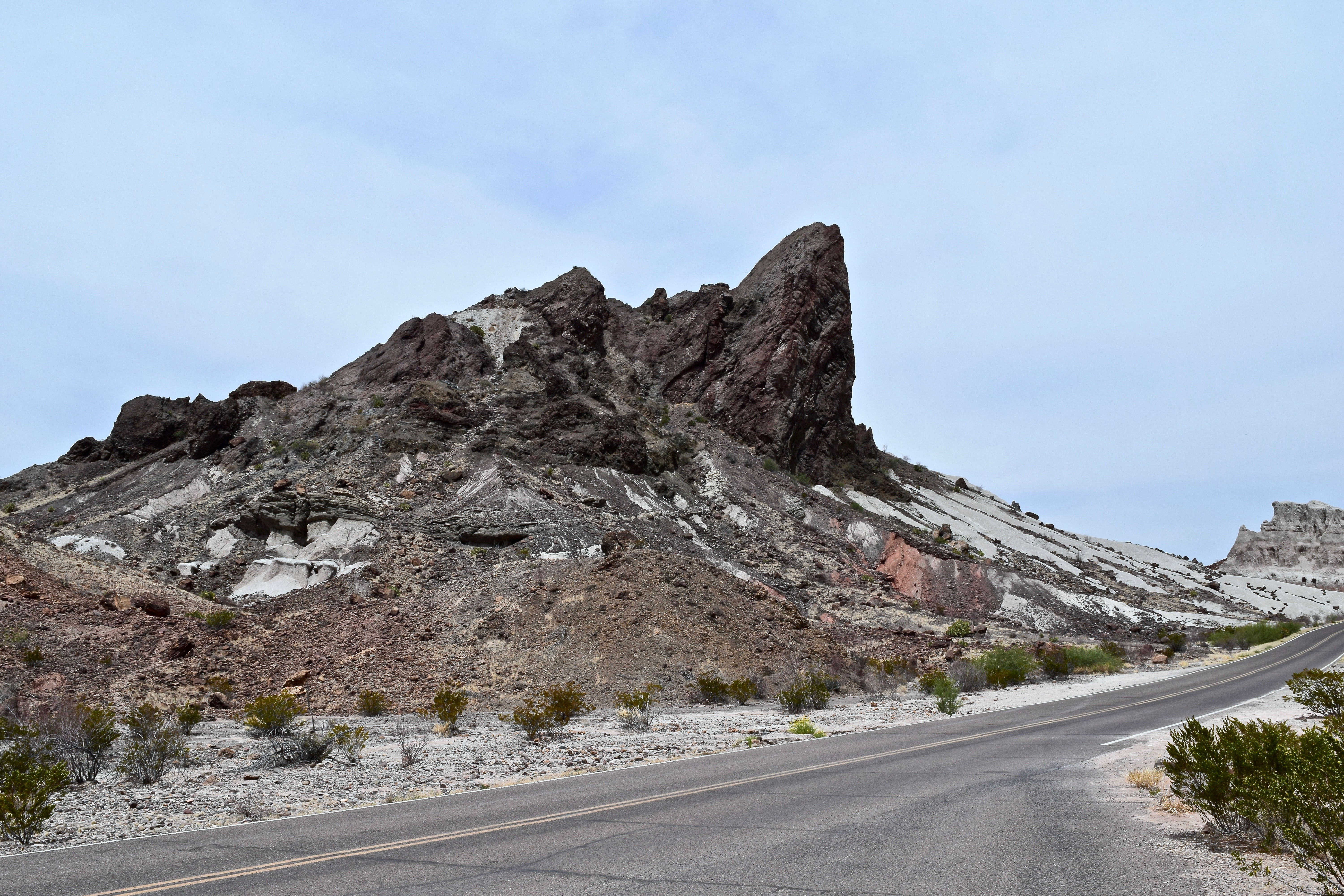
- Remnants of light volcanic ash and black basalt in the Tuff Canyon area.
-
- The view and some of the many sotol plants at Sotol Vista.
-
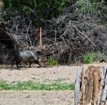
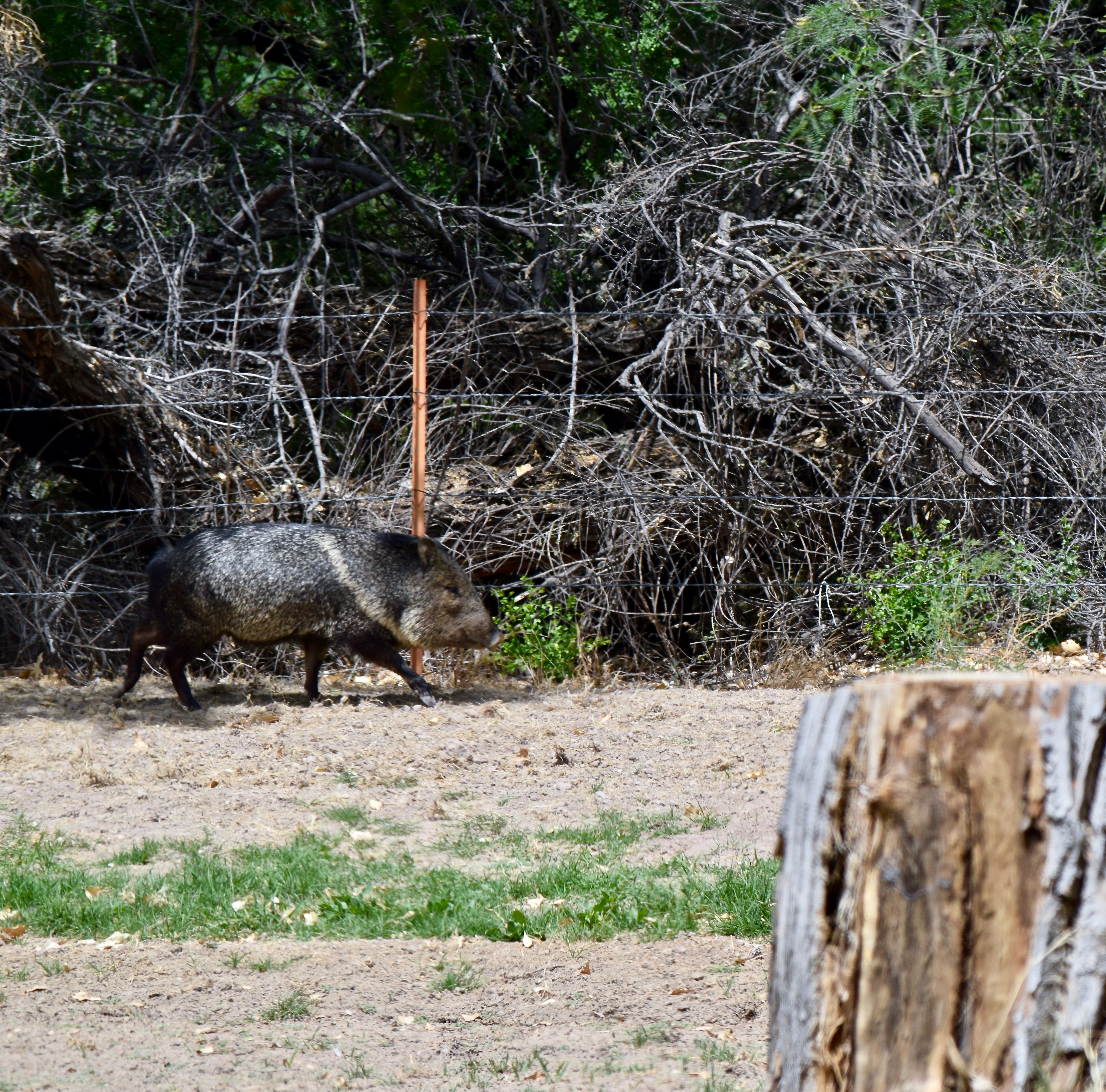
- Not a pig, but a javelina at Cottonwood Campground near Castolon.
-
- Casa Grande rises to 7,325 feet with bare rock towering cliffs hovering 2000 feet above the ranger station at Chisos Basin.
-
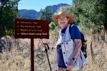
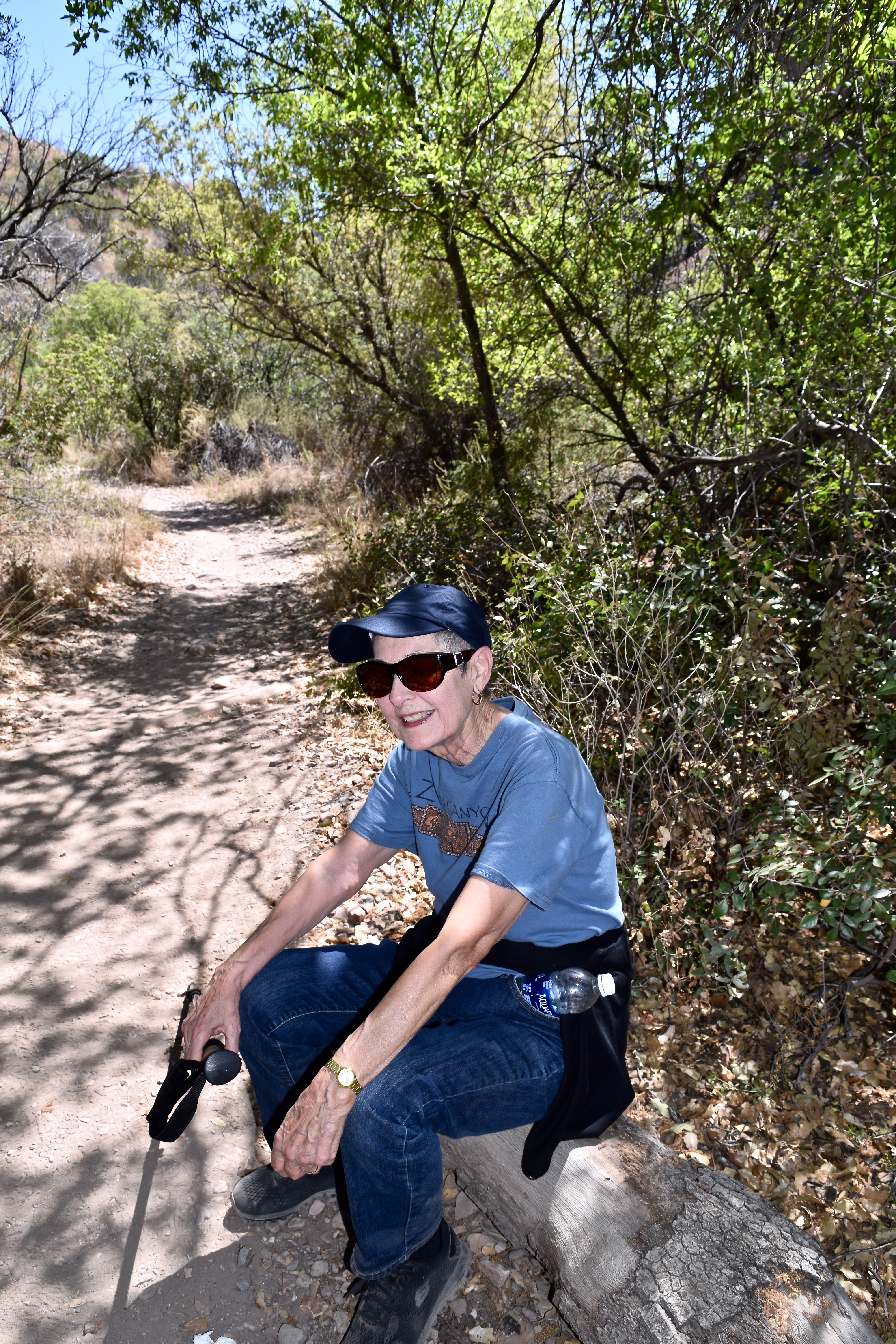
- Brenda ready to tackle the 1.9 mile Basin Loop. After the fall and knee injury all the other mountain trails are off limits.
-
- Lou Anne on the Chisos Basin Loop Trail with the Window in the background.
-

- An Alligator Juniper along the Basin Loop Trail.
-
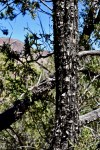
- The rectangular scaly bark of the Alligator Juniper is a marvel.
-

- The Basin Trail is narrow at times but the Pinon Pine, various oaks, and juniper trees offer a good bit of shade in the upper portion.
-

- Looking south across the basin and the rim toward Emory Peak.
-

- Ran across this fellow, a Southwestern Fence Lizard, I think.
-

- Lou Anne nearing the end of the Loop Trail with a view of The Window.
-
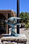
- The Peregrine Falcon statue outside the Chisos Basin Visitor Center. Portions of the trails are closed March through May to protect them during their nesting season.
-
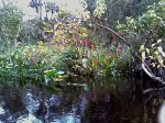
- Dugout Wells is an oasis of green, colorful flowers, and many birds in the midst of the Chihuahuan Desert.
-
- DUGOUT WELLS Desert Nature Trail with Nugent Mountain in the background.
-
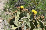
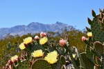
- Imagine what this Blind Prickly Pear will look like when all the blooms are open!
-

- A Strawberry Pitaya bloom.
-

- The Strawberry Pitaya plant in bloom.

-

- Sunset on the Sierra del Carmen at Rio Grande Village.


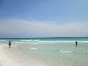 After church we drove to Pensacola Beach on the Gulf Shore National Seashore. The gleaming white sands and crystal clear blue/green water still amazes me. It is so unlike our Texas Gulf – murky, brown, and stinky! We sat our chairs up on the ridge of sand just above the incoming waves and enjoyed our picnic lunch. Of course, we lathered up with sunscreen before eating. The temperature was a both/and. We were both warmed by the sun, and the truth be known it was hot, and cooled by the sea breeze. The seashore is a tease that way! It is hot, but the breeze makes it feel cooler
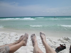 e cute little girl in particular. She looked to be about 18-20 months old and was decked out in a pink and white bathing suit topped with a matching cap. Regardless of coaxing by Mom and older brother and sister, she literally dug her heels in and absolutely refused to go into the water. If the diminishing waves caught her feet, she screamed and ran backwards. She squealed and seemed the most content when grabbing fists full of sand and throwing it in the air. Oh, such simple delights of children!! What a joy!!
 ork — trying to get salt sea water out of your eyes with hands wet with same is a fruitless effort. Oh, well, just endure the momentary sting and let the natural tears do their thing and all is soon well! The playing continued until we heard the roll of thunder in the distance and saw a flash of lightning.
